This project aims to design and implement a sophisticated interactive web-based map that consolidates and visually represents critical geospatial data pertaining to tornadoes for communities across Southern Canada. This comprehensive mapping tool will utilize a variety of open datasets, integrating key information such as tornado occurrence points and tracks, land cover specifications, building footprints, average property values, climate anomalies, weather station data, and topographic characteristics. By doing so, it aims to provide valuable and actionable insights for both residents and policymakers. The project's Key deliverable is Online Interactive Maps. Separate
maps feature customizable data layers that cater specifically to the needs of different user groups. Users can select and overlay various datasets to better understand the implications of tornado activity on their communities. Through these deliverables, the project aims to enhance community awareness of tornado risks and foster informed decision-making among residents and policymakers, ultimately contributing to increased resilience against tornado-related challenges in Southern Canada.
Smarter insights for safer outcomes
Our goal
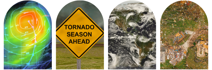
As climate change continues to profoundly affect our weather systems, the frequency and intensity of natural disasters, such as tornadoes, are expected to rise. In Southern Canada, where tornado occurrences are common, residents and policymakers must be adequately prepared for the associated risks and repercussions. The primary objective of this project is to enhance awareness of tornado risks and improve preparedness and decision-making capabilities among Canadian residents and policymakers. To achieve this, we aim to transform complex geospatial datasets into clear, engaging, and interactive visualizations that can serve various purposes:
Empowering Residents: By providing residents with accessible tools, we aim to improve their understanding of personal and community-level tornado risks. Interactive visualizations will allow individuals to identify nearby hazards and assess their vulnerability. This empowerment is crucial for fostering a culture of preparedness and resilience within communities.
Supporting Policymakers: The project will assist local and regional policymakers identify areas most at risk of tornado activity. By leveraging the insights gained from data analytics and visualizations, decision-makers can prioritize resource allocation effectively and develop targeted emergency management policies tailored to their communities' unique needs. This proactive approach can significantly enhance the overall safety and welfare of residents living in tornado-prone areas.
Fostering Public Engagement and Trust: Transparency and data-driven communication are essential for building public trust in emergency management strategies. Through engaging visualizations and comprehensive outreach efforts, we aim to foster a dialogue between residents and policymakers. By involving the community in discussions about tornado risks and preparedness, we can cultivate a sense of ownership and shared responsibility for safety, ultimately enhancing overall community resilience.
By combining advanced geospatial analytics with effective communication strategies, this project seeks to equip Canadians with the knowledge and tools they need to navigate the growing challenges of tornadoes in a changing climate. Through concerted efforts to raise awareness, support decision-making, and engage the public, we can create safer, more resilient communities ready to face our environment's dynamic and sometimes unpredictable nature.